Gulf Weather Alert: Monitoring Invest 91L
Minimal to no Brazos Valley impacts
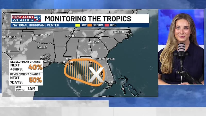
BRYAN, Texas (KBTX) - A disturbance in the eastern Gulf, labeled Invest 91L by the National Hurricane Center, continues to be monitored. The latest update gives it a 40% chance of development in the next 48 hours, and a 50% chance over the next seven days. The driver is an upper-level low over Florida, and a weak surface trough; together helping spark strong thunderstorms over the water, producing gusty winds, frequent lightning, and locally rough seas.
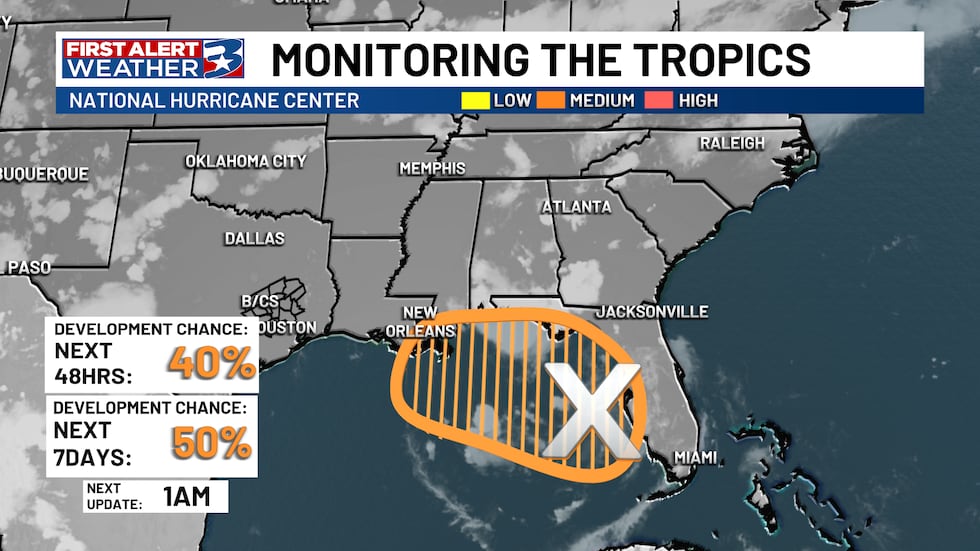
If the system strengthens to maximum sustained winds of 39 mph, it would be classified as a tropical storm and receive the next name on the Atlantic list: Bertha. Right now, maximum winds are estimated around 23 mph.
Impacts
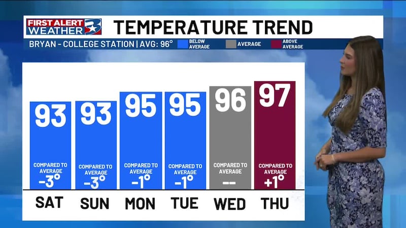
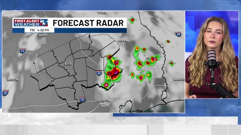
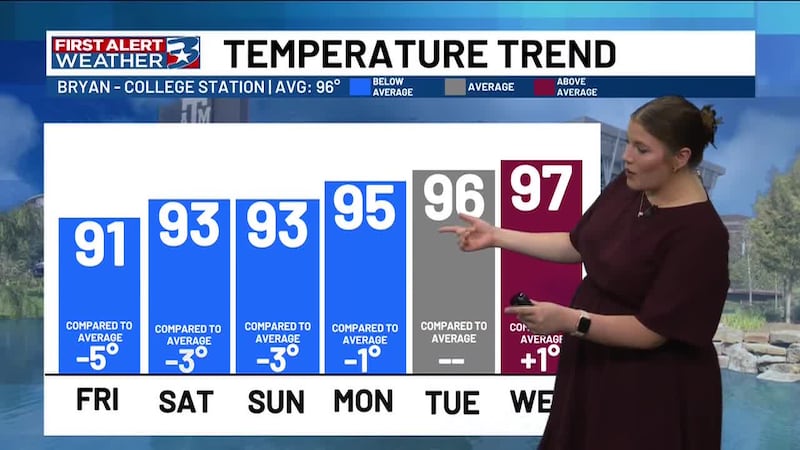
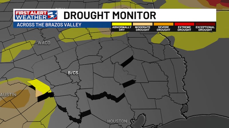
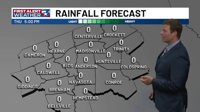
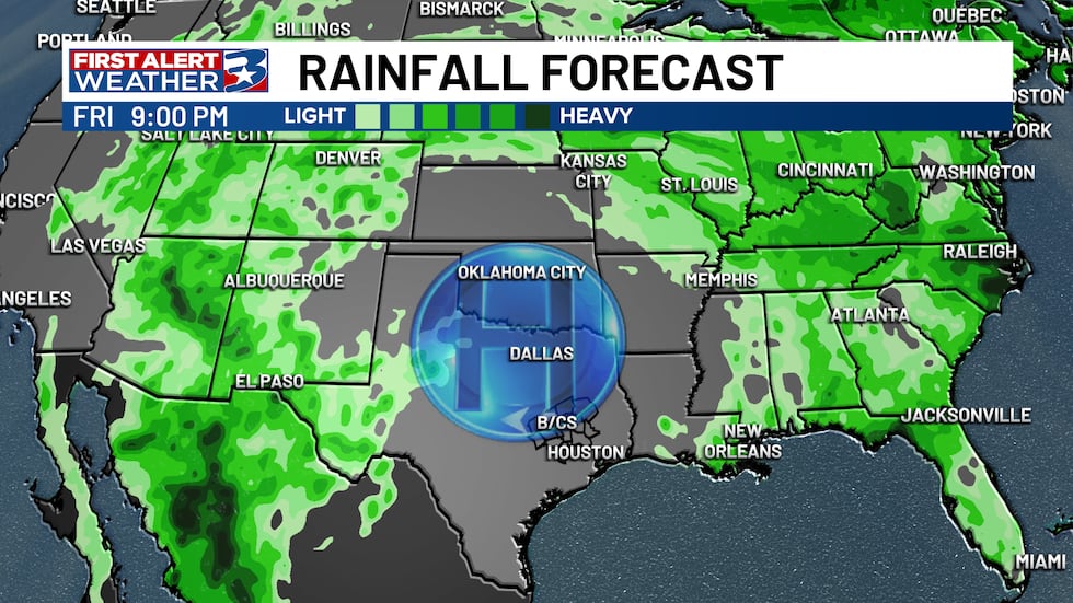
The main concern is heavy rain and storms from the Florida to Louisiana Gulf coast in the coming days, something we’re monitoring for those communities, and could impact travel or beach plans. Closer to home, the Brazos Valley is expected to remain hot and mostly dry under high pressure as Texas continues drying out after the recent soggy stretch.
Copyright 2026 KBTX. All rights reserved.