Bryan public meetings scheduled this week for bicycle, sidewalk plans
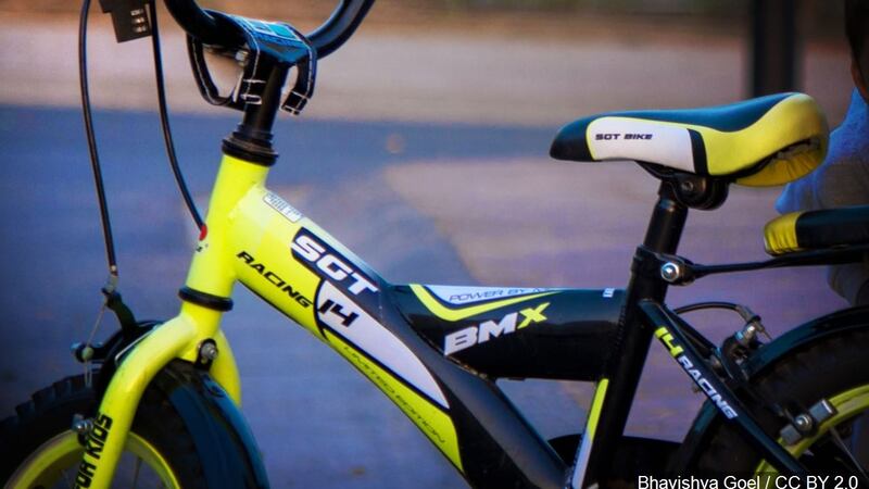
The City of Bryan is revising its Thoroughfare, Bicycle, and Sidewalk Plans as part of the 2016 Comprehensive Plan update. Citizen input is being sought to ensure that the proposed plans address the needs of the community.
Public meetings will be held at the Municipal Office Building, 300 S. Texas Ave., on:
July 13 from 6 p.m. to 7:30 p.m. in the Basement Training Room,
July 20 from 11:30 a.m. to 1:30 p.m. in the Council Chambers,
July 20 from 6 p.m. to 7:30 p.m. in the Council Chambers,
July 27 from 6 p.m. to 7:30 p.m. in the Council Chambers.
A short presentation will be given at the beginning of each meeting, followed by time for questions and feedback.
The Thoroughfare Plan is a guiding document used by City engineering and planning staff to dedicate right-of-way for future streets. The plan classifies the ultimate condition of streets as freeways, arterials, collectors, and local roadways. Its planning horizon is 20 to 50 years and it considers different transportation modes and projected growth.
The proposed plan is a revision of the 2006 plan. Changes were made to align future and existing roadways, limit floodplain crossings, and avoid existing buildings and facilities. The expansion of Texas A&M University and Blinn College at the RELLIS campus, development of the proposed I-14 Gulf Coast Strategic Highway, and construction of the Texas Central Rail are future events being taken into account.
The Bicycle Plan is used to plan, design, and fund bicycle facilities in the City. The plan identifies existing and proposed bike lanes, bike routes, shared use paths, cycle tracks, and trails. Its planning horizon is 20 years and it considers popular destinations, connectivity with College Station, safety, and rider comfort. The proposed plan is an original plan by engineering staff, who have test ridden most of the routes for feasibility.
The Sidewalk Plan is used to determine where sidewalks are necessary for future residential and commercial developments as well as City infrastructure projects. The plan identifies existing and proposed sidewalks and prioritizes routes that provide thoroughfare access, fill short gaps in the network, serve schools, connect to parks, or fill long gaps in the network. Its planning horizon is 20 to 50 years and it considers citizen requests, future growth, and popular destinations. The proposed plan is an update to the 2006 plan.